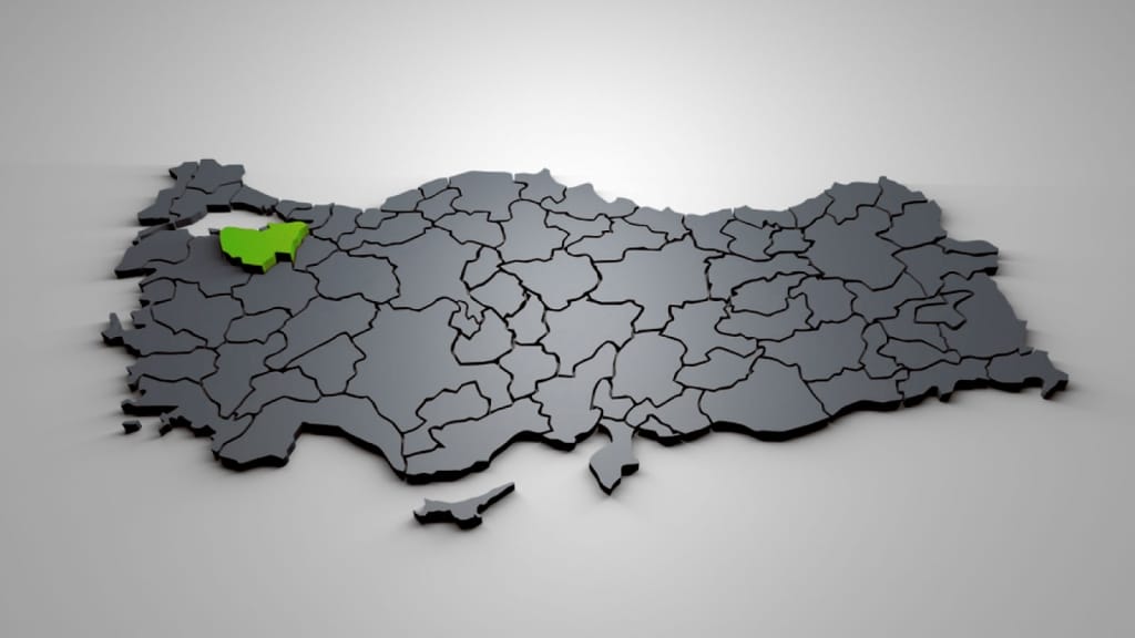
Bursa location and regions – Administrative divisions of Bursa
Bursa location and regions.. Undoubtedly, it is necessary for tourists and investors in Turkey to figure out the geographical locations of Bursa Province. In this article from Ebla Real Estate, we will talk about Bursa location and regions. We will also talk about the administrative divisions of Bursa.
An introduction about Bursa location and regions:
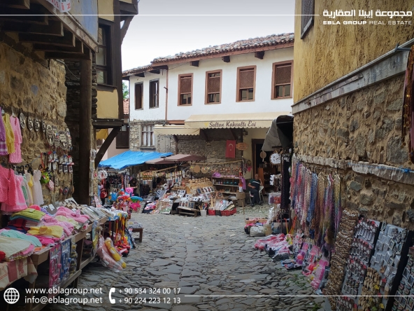
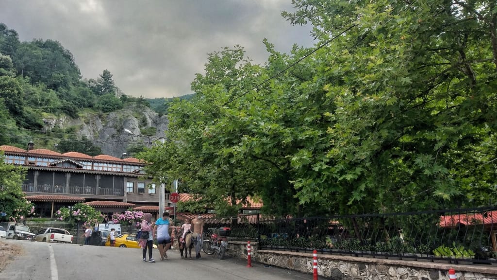
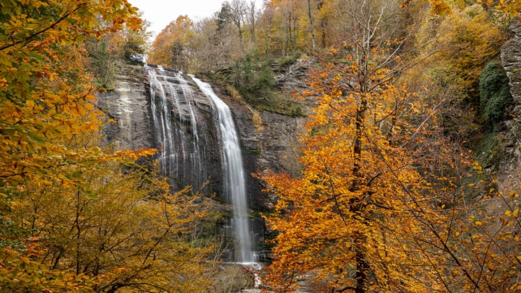
Bursa is one of the most important tourist destinations in Turkey due to its natural beauty and its rich history. Moreover, it is one of the most prominent industrial and investment areas in Turkey.
Bursa location:
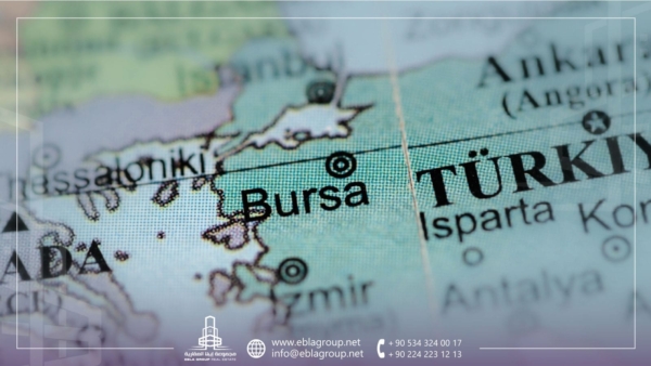
Bursa is located in northwest Turkey in the southern part of the Marmara region. As for its geographical borders, it borders Balıkesir to the west, Kütahya to the south, Bilecik and Sakarya to the east, Kocaeli to the northeast and Yalova to the north.
Moreover, it has a strategic geographical location between the three most important Turkish cities, which are Istanbul, Ankara and İzmir.
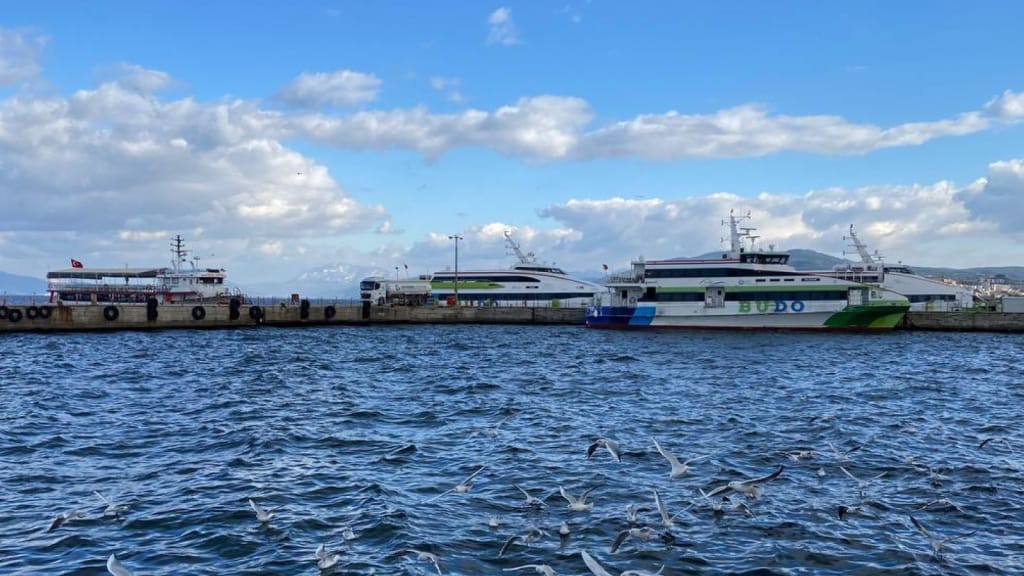
Furthermore, the distance between Bursa and Istanbul is about 154 km, according to Google Maps. Thus, it takes about two hours between the two destinations. However, it takes about an hour and forty minutes via fast ferries from Mudanya port in Bursa.
It extends over an area of 10,811 square kilometers. In addition, it is the fourth most populous city in Turkey, with a population of about 3,147,818 people.
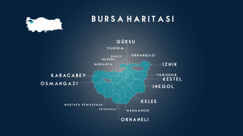
Administrative divisions of Bursa:
Bursa province includes a group of districts. There are central provinces that represent the city of Bursa in addition to other provinces that represent its countryside and its affiliated cities.
Central districts of Bursa and their locations:
There are five central districts that represent the city of Bursa, which are:
-
Osmangazi district of Bursa:
It is the largest and most important urban area in Bursa. Moreover, it consists of 137 neighborhoods. Moreover, Osmangazi is the intersection of all the central districts of Bursa. To figure out its location on Google Maps, click here, and for more details about the area, click here.
-
Yıldırım district of Bursa:
It is the second largest urban area in Bursa after Osmangazi. Moreover, it consists of 69 neighborhoods. To figure out its location on Google Maps, click here, and for more details about the area, click here.
-
Nilüfer district of Bursa:
It is one of the most important municipalities of Bursa. Moreover, it consists of 64 neighborhoods. To figure out its location on Google Maps, click here, and for more details about the area, click here.
-
Kestel district of Bursa:
It is one of the central regions of Bursa. Moreover, it consists of 35 districts. To figure out its location on Google Maps, click here, and for more details about the area, click here.
-
Gürsu district of Bursa:
It is also one of the central districts of Bursa, consisting of 15 districts. Moreover, it is famous for its historical monuments and its various sports. To figure out its location on Google Maps, click here, and for more details about the area, click here.
Affiliated districts of Bursa:
There are 12 affiliated districts of Bursa, which are:
-
Orhangazi district of Bursa:
It is one of the most important regions of Bursa, located in the south of the Marmara Sea and west of Iznik Lake. It is also an important intersection point on Bursa-Istanbul Road. To figure out its location on Google Maps, click here, and for more details about the area, click here.
-
Gemlik district of Bursa:
It is located on the coast of the Marmara Sea. Moreover, it is the oldest city around Bursa. To figure out its location on Google Maps, click here, and for more details about the area, click here.
-
Harmancık district of Bursa:
It is the smallest district of Bursa in terms of population, located south of Uludag. To figure out its location on Google Maps, click here.
-
İnegöl district of Bursa:
It is one of the important industrial areas in Bursa, located southeast of Bursa. To figure out its location on Google Maps, click here, and for more details about the area, click here.
-
İznik district of Bursa:
It is one of the most important provinces of Bursa. Moreover, it is located on the eastern shore of Iznik Lake. To figure out its location on Google Maps, click here, and for more details about the area, click here.
-
Karacabey district of Bursa:
It is an agricultural area, located 70 km west of Bursa. To figure out its location on Google Maps, click here, and for more details about the area, click here.
-
Keles district of Bursa:
It is one of the agricultural areas of Bursa, located 61 km from the center of Bursa. Moreover, it is an important area for livestock. To figure out its location on Google Maps, click here, and for more details about the area, click here.
-
Orhaneli district of Bursa:
It is an area affiliated to Bursa, rich in underground and surface resources such as marble and mineral water. To figure out its location on Google Maps, click here.
-
Mudanya district of Bursa:
It is an important tourist area, located on the coast of the Marmara Sea. To figure out its location on Google Maps, click here, and for more details about the area, click here.
-
Mustafakemalpaşa district of Bursa:
It is one of the charming areas that attract tourists, as it is famous for the thermal spring. Moreover, it is located 86 km from the center of Bursa. To figure out its location on Google Maps, click here.
-
Büyükorhan district of Bursa:
It is an area affiliated to the city of Bursa, located on the borders of the city of Balıkesir. To figure out its location on Google Maps, click here.
-
Yenişehir district of Bursa:
It is located east of Bursa, at a distance of 52 km. Moreover, it includes Bursa International Airport. To figure out its location on Google Maps, click here, and for more details about the area, click here.
Thus, we provided information about Bursa location and regions. Furthermore, we talked about the administrative districts of Bursa.
Edited by: Ebla Group Real Estate
If you like this subject, do not forget to share it with your friends to benefit.